“Cipro. Crossroads of Civilizations” Exhibition Design
Cipro. Crossroads of Civilizations is an exhibition on Cyprus’ ancient culture organized by the Royal Museums of Turin in the Sale Chiablese. It displays a collection of more than six hundred Cypriot artifacts, with fifty outstanding loans from fourteen national and international museums, such as the British Museum in London and the Metropolitan Museum of Art in New York.
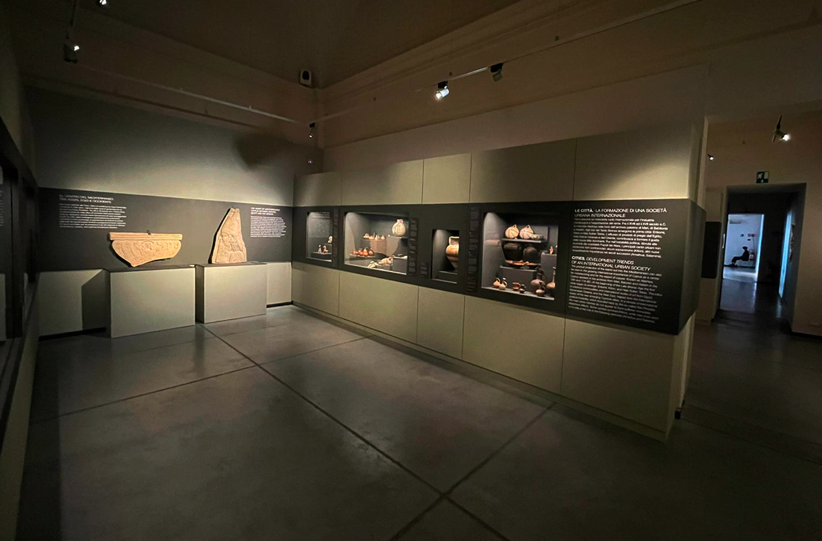
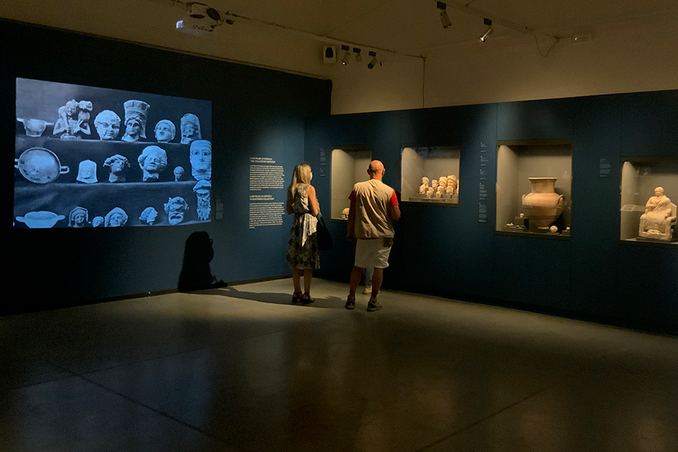
Visivalab conceived and designed the exhibition graphics and itinerary, with more than fifty showcases arranged throughout the seven hundred square meters of the space, regarding the particular conservation needs of international pieces. We have developed interactive installations and immersive experiences, that submerge the visitor in the island’s history and myths through the objects brought into the light in the most recent archaeological excavations.
CLIENT Musei Reali di Torino
PARTNER Ribes Solutions
YEAR 2021
FEATURES
- Exhibition set up and design
- Integral graphic project
- Interactive installation
- Vernacular music installation
- Infographic maps
- Video stations and projections
- Video production and animation
- Illumination system
- Smart security system for the artworks
Project
The more than one thousand archaeological objects in the Cypriot collection of the Royal Museums constitute a unique case in the panorama of the great European museums. It only compares in importance and variety to the Egyptian Museum of Turin’s collection, and it can be deemed the alter ego of the Cypriot collection of the Met in New York.
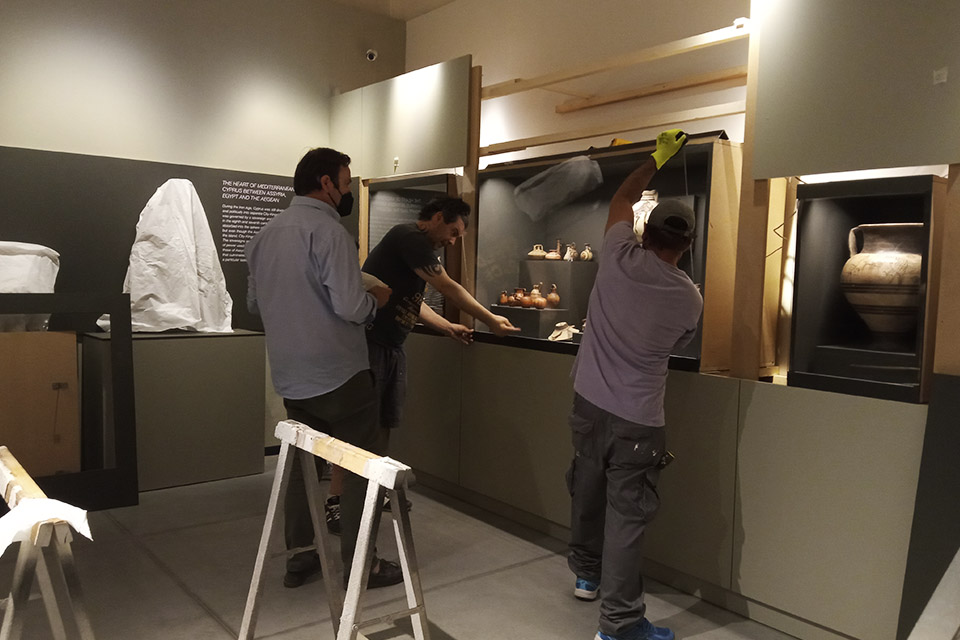
Visivalab, in collaboration with Ribes Solutions, developed the expositive project, which includes the creation of panels, exhibitors, showcases, bases and supports for all the pieces. The graphics and furniture were conceived and designed to meet the needs of all those involved: archaeologists, curators and loaning museums. All the resources we displayed, both material and technological, use suggestive language devised specifically to capture the public’s attention throughout the exhibition.
EXHIBITION SET UP AND GRAPHIC PROJECT
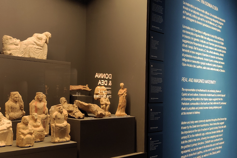
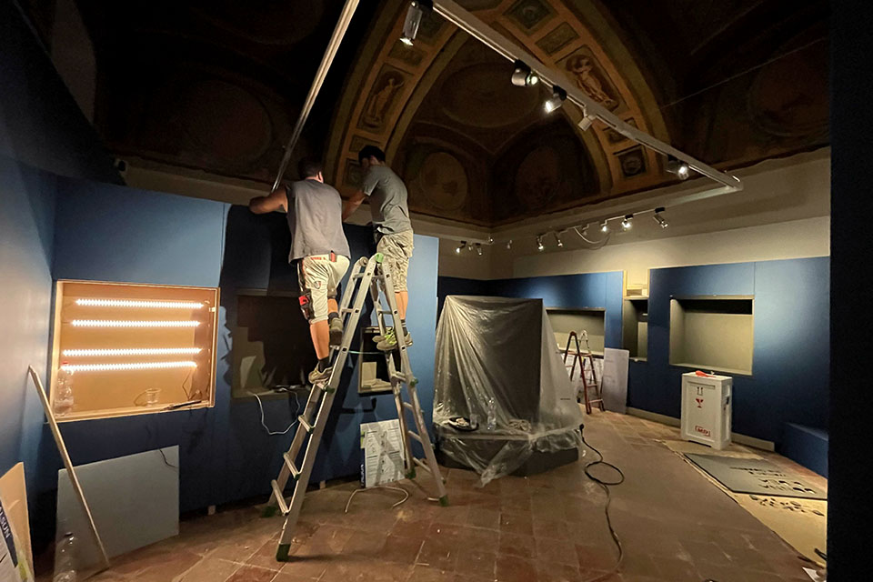
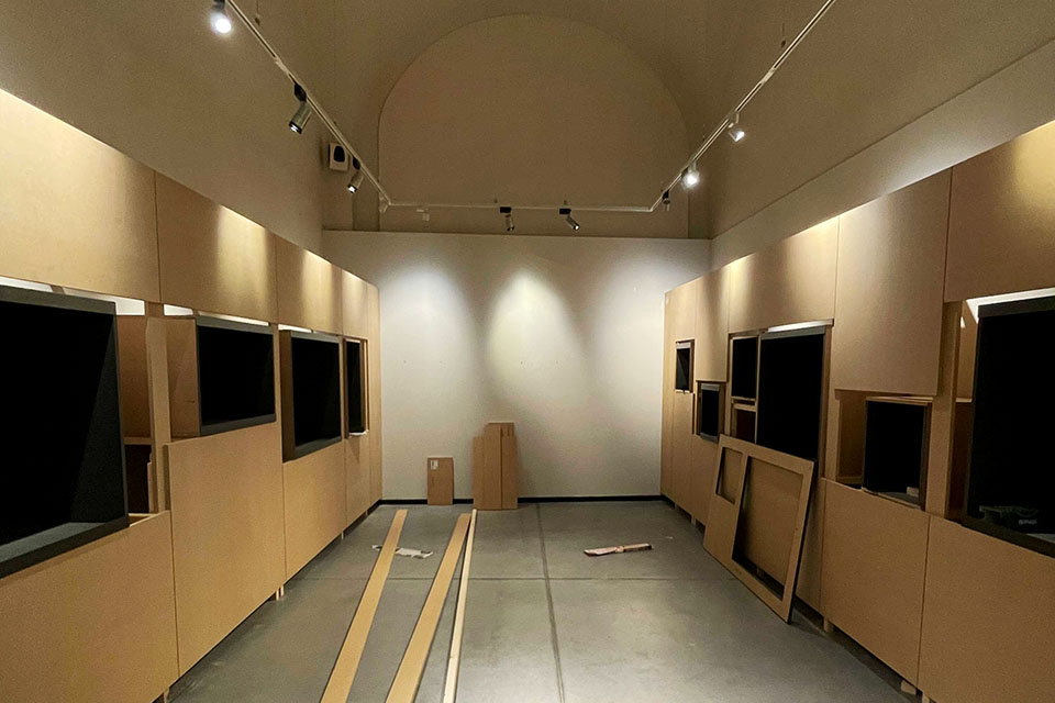
The furniture structures are light and easy to assemble, designed with quality materials and suitable lighting to bring out all the details of the findings, always according to the individual requirements of the loaning museums.
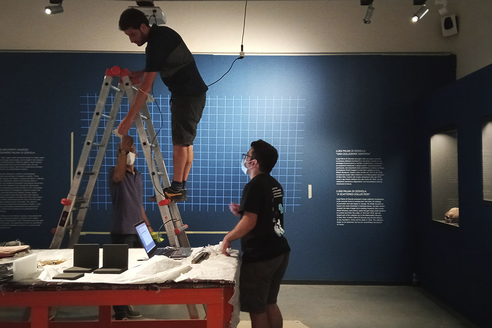
MRT entrusted Visivalab with the project’s integral design, from deciding the distribution, number and size of showcases, to the creation of the sculpture’s plinths and bases in plate and steel, as well as the design of all graphic and textual elements of the exhibition.
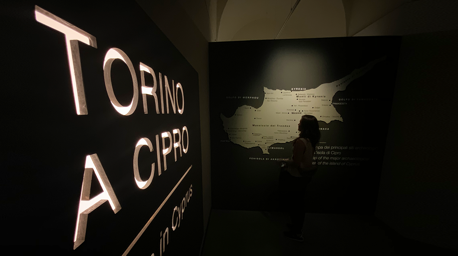
The section titles are carved on backlit wooden panels and placed at the same height that the showcases. Thanks to the effect produced by the light, the words appear as if they were floating in the ambiance, thus magnifying the mysticism of the Cypriot past.
TECHNICAL INFORMATION
PROGRAMMING
- Python
HARDWARE
- Raspberry Pi
- Touch screen and tablets
- Projectors
- Electromagnetic relay
CYPRIOT SOUND INSTALLATION
For the section titled “The sense of the sacred. Cults, symbols and rituals,” we created a sound installation in collaboration with the Turin musical group Eugenio In Via Di Gioia, with the aim to recreate the island’s sacred atmosphere.
The installation consists of five speakers distributed throughout the rooms, each of them plays a different sound, but when listened to in unison, they become a sole evocative melody.
INTERACTIVE CYPRIOT KEYBOARD
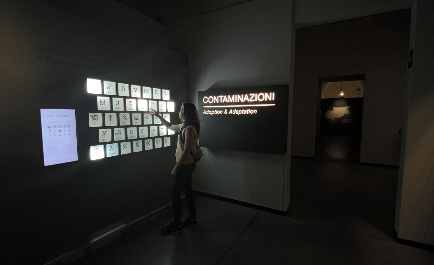
The multitude of alphabets and codes used over the centuries on the island reflects the fact that Cyprus truly represented a meeting point between civilizations and cultures.
To illustrate this richness, we developed a QWERTY-style “Cypriot keyboard” carved onto an MDF wood panel. The keys are made of translucent polypropylene and contain symbols, graphic signs and letters belonging to each of the seven writing systems.
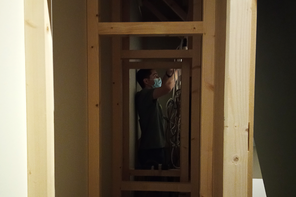
We equipped the panel with an electrical system and lightbulbs programmed to light up the keys depending on the writing system selected on the contiguous vertical screen. Initially, the idea was to allow the user to decide which writing systems to light up by selecting it on the screen. Unfortunately, the anti-Covid regulations prevented us from using a touch screen, so we designed an animation loop simulating manual selection.
INFOGRAPHIC MAPS
Infographic maps are used as a tool to simplify information, supporting the narrative while drawing the reader closer to the content in a more effective and direct way.
For contextualizing the pieces in their spatial and temporal coordinates, Visivalab designed two maps documenting the appearance of the first prehistoric settlements in Cyprus, presented in a timeline that spans from the 10th century BC to the second half of the 5th century AD.
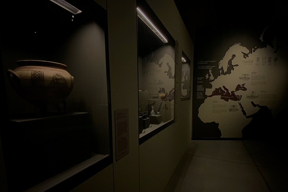
In the rooms dedicated to the commercial imports and exports, we designed and installed a third map carved on a wooden support, which links with red threads the trade routes that connect the main Mediterranean ports with which the inhabitants of Cyprus interacted. In addition, it includes illustrations of the types of ships they used and the main products they exported.
Finally, a large map of the archaeological sites of the island opens up the last part of the itinerary.



SHOWCASES WITH EXPORT PRODUCTS
We also designed a sensory installation with the primary goods and fragrances exported by Cyprus: oil, sesame, almonds, lavender and rosemary. These items are displayed in five tubular Plexiglas cases. Although, the initial proposal considered that the public could interact with this installation through touch and smell, again it was not possible because of the measures to prevent the spread of Covid-19.
VIDEO INSTALLATIONS
Visivalab was also in charge of preparing the audiovisual material:
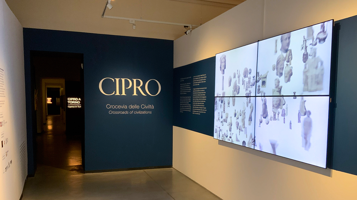
- In the introductory anteroom, four synchronized HD monitors reproduce an animation that contains all the archaeological objects showcased within the exhibition, which end up coming together to form the island of Cyprus. Following this animation, a boat sailing toward the island is used as a metaphor for the journey that the viewer is about to undertake.
- In the section “From antiques to archaeology,” there is a video-art projection by Marianna Christofides, entitled “Here let me stand”, which relates to the context of the first discoveries of Cypriot archeology in the 19th century.
- In the section “Living in Cyprus. From the people to the great empires,” we installed a screen on the wall showing a video made by Alessandro Uccelli about the most recent excavations. Almost at the end of the itinerary, there is a room equipped with seats and a screen that reproduces yet another documentary dedicated to the work of archaeologists on the island.
INTERACTIVE SPACE
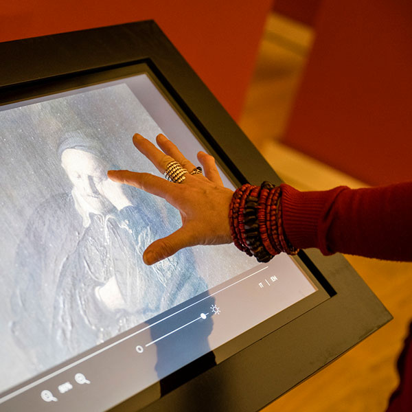
The exhibition ends with an interactive space we designed in collaboration with Erimi Archaeological Project. It consists of a large counter with three tablet stations, a touch screen and two showcases.
In the first showcase there are three objects found in the archaeological sites, whose history and characteristics are described in each of the tablets. In the other, we placed a reproduction of the three objects so that the user could manipulate and closely observe them.
Finally, the touch screen presents interactive maps of Erimi, an archaeological site on the southwest of the island. It also shows interesting facts about this excavation and the team led by Dr. Luca Bombardieri, co-curator of the exhibition.
TECHNICAL INFORMATION
PROGRAMMING
- Python
HARDWARE
- Raspberry Pi
- Touch screen and tablets
- Projectors
- Electromagnetic relay
PRESS
“Cipro. Crocevia di Civiltà”: La mostra dei Musei Reali valorizza l’isola sintesi di mondi e culture”
Agenda Viaggi
Torino, inaugurata la mostra “Cipro. Crocevia delle Civiltà nelle sale Chiablese dei Musei Reali [Le Foto]
Cronaca Qui
Cipro e Torino Crocevia di Civiltà: ai Musei Reali un viaggio tra collezionismo e archeologia
Arte.it

